

-
Recently Browsing 0 members
- No registered users viewing this page.
-
Forum Statistics
250.5k
Total Topics2.7m
Total Posts -
Member Statistics
342,958
Total Members8,960
Most Online
-
Who's Online 3 Members, 1 Anonymous, 975 Guests (See full list)
-
Latest Articles
-
Posts
-

-
Looking for this part for my truck. They don't sell just that one piece and to get it you have to pay over $100 even used for the whole air tube. The piece the hose clamp snaps into that is held on by the screw and nut. If anyone has access to one please let me know.
-
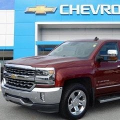
-
 Damn I literally just threw the one off my 2016 away a month ago when I remodeled my garage.
 -

By Tyler Gibbs · Posted
Some people can’t help it sometimes. We try not to judge too hard.
-
-
GM-Trucks.com Clubs
-

Black Truck Club
Open Club · 613 members
-

White Truck Club
Open Club · 380 members
-

Canadian Owners Club
Open Club · 282 members
-

Red Truck Club
Open Club · 158 members
-
diesel 3.0
Open Club · 281 members
-

Texas Owner's Group
Open Club · 371 members
-
NorthSky Blue Club
Open Club · 118 members
-

Midwest Owner's Group
Open Club · 213 members
-
2015 Custom Sport Club
Open Club · 5 members
-

GM Snow Plowing Club HD
Closed Club · 14 members
-
-
Popular Contributors
-
.thumb.JPG.2c573de60d3a3a4407c7d92298db46dd.JPG)


Recommended Posts
Archived
This topic is now archived and is closed to further replies.